
17 Jul Photogrammetry and LiDAR: Leveraging Drones to Elevate Your Topography Projects
Topography has undergone significant evolution throughout history, with the development of various methods to measure and represent terrain. Traditionally, tools such as the theodolite and total station have been established as the most precise and convenient means for these measurements. However, the advent of drones, or unmanned aerial vehicles (UAVs), has opened new horizons in the field of topography. These devices have become the most efficient option for capturing and representing the features of extensive areas of terrain with an unprecedented level of detail, completely transforming the field of topography.

Tools such as the theodolite and total station had been the most precise and convenient means for these measurements.
Drones have revolutionized topography by allowing companies to efficiently obtain precise and detailed data. Their flight capability enables them to cover large areas of terrain in a short amount of time, accelerating the topographic surveying process. Furthermore, thanks to their advanced cameras and sensors, drones capture high-resolution images and topographic data with exceptional accuracy.
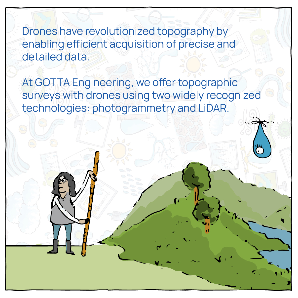
At GOTTA, we offer topographic surveys using drones employing two widely recognized technologies: photogrammetry and LiDAR. Photogrammetry reconstructs reality in three dimensions from multiple photographs taken from different positions. With an algorithm known as structure from motion, we determine the position of points in three-dimensional space. This technique is ideal for areas without vegetation or with scattered vegetation, obtaining precise representations of the terrain.

We also employ LiDAR, a technology that uses a laser emitted from the drone to scan the terrain and calculate the position of points based on the laser’s return time to the sensor. LiDAR scans the environment and has the advantage of obtaining terrain points even in areas with dense vegetation. This technology provides us with precise and detailed terrain data, even in challenging conditions.

Topography with drones offers numerous benefits compared to traditional methods. Firstly, it eliminates the need to send surveyors to hazardous or inaccessible terrain, improving safety and reducing risks. Additionally, aerial data collection provides a panoramic view of the terrain, facilitating the identification of significant topographic features and changes. Another key benefit is sampling capability. Drones enable the collection of points with extraordinary density compared to traditional topographic methods, allowing for high-resolution terrain models.
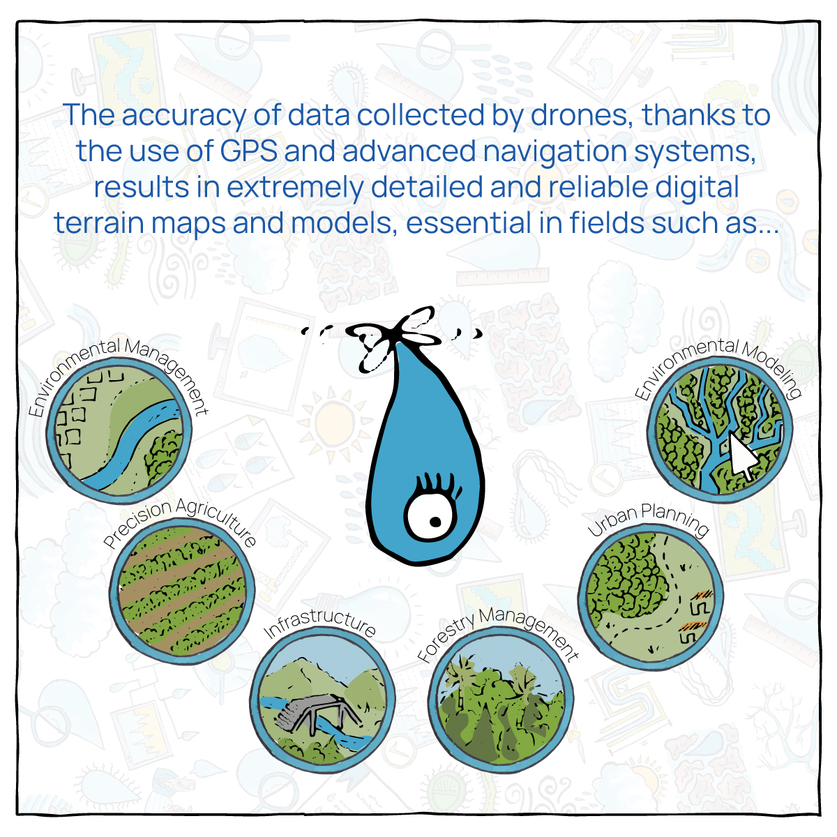
The accuracy of data collected by drones is another standout aspect. These devices use GPS positioning technology and advanced navigation systems for highly precise measurements. This results in extremely detailed and reliable digital terrain maps and models.

Topography with drones finds applications in various industries, such as urban planning, infrastructure development, precision agriculture, and environmental management. Drones have become an invaluable tool by providing fast and accurate data, enabling companies to make informed and efficient decisions.
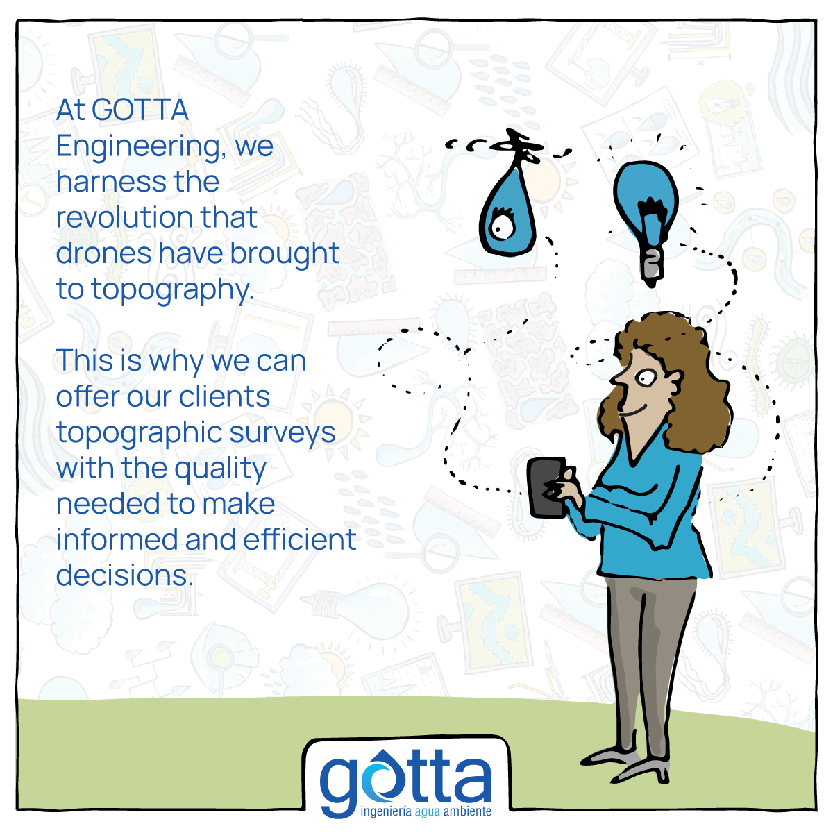
At GOTTA Engineering, we harness the revolution that drones have brought to topography and offer our clients topographic surveys with the level of detail required for their studies. We guarantee that the collected information meets the requirements for use in hydraulic and hydrological models, reducing processing times and ensuring the quality of the final products.