


09 Nov Revolutionizing Territory Monitoring: Drones as Cutting-Edge Tool
In previous publications, we have had the opportunity to introduce you to drone surveys, some of their applications in different fields, and their benefits for your company. However, drones are highly versatile tools with incredible potential to facilitate a wide range of tasks, so there are undoubtedly many applications we have yet to explore. One of these is the use of drones for territory monitoring. What is drone monitoring? How is it done? What benefits does monitoring territory using these tools bring? In what fields can this technology be utilized? In this article, we will provide answers to these and other questions.
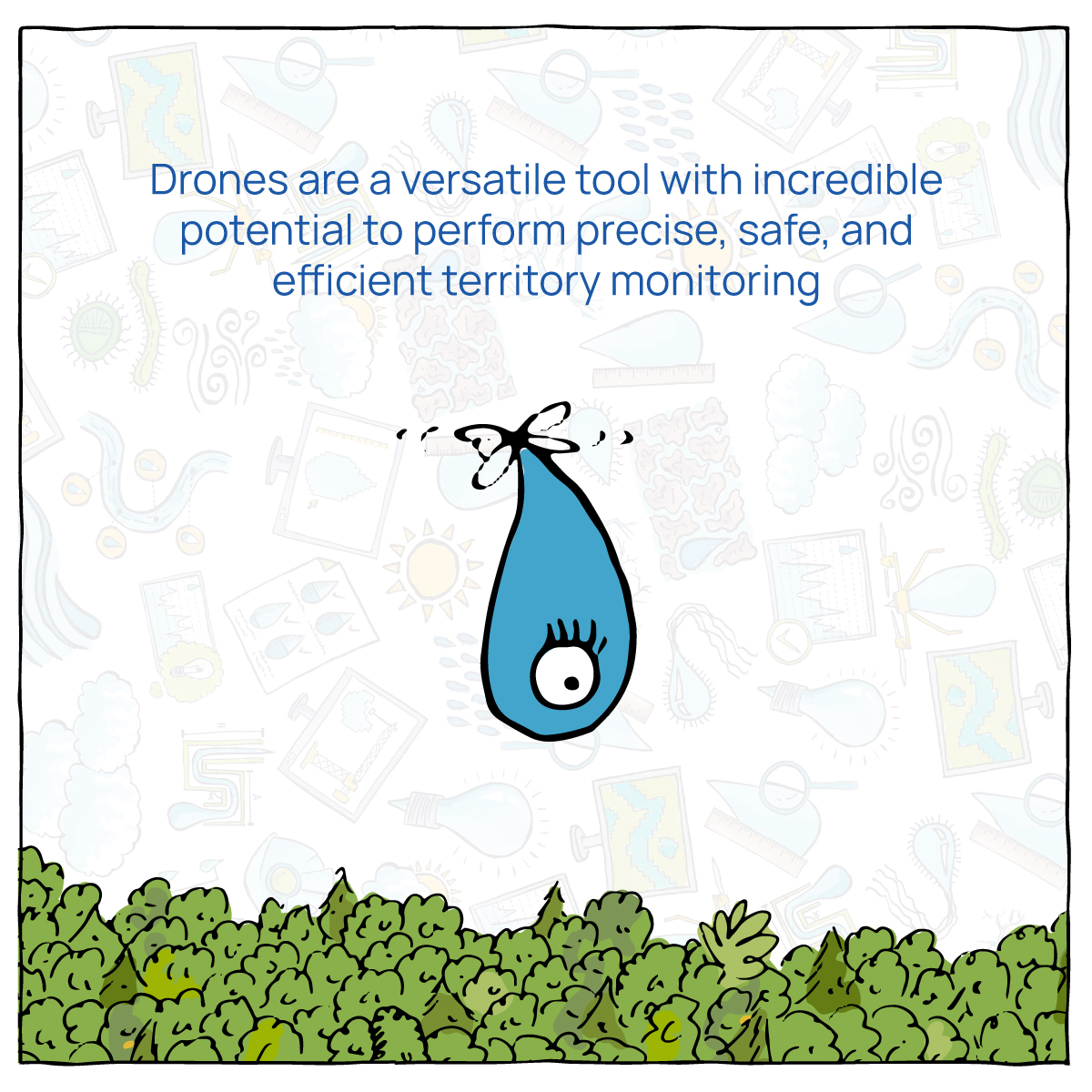
In previous publications, we have had the opportunity to introduce you to drone surveys, some of their applications in different fields, and their benefits for your company. However, drones are highly versatile tools with incredible potential to facilitate a wide range of tasks, so there are undoubtedly many applications we have yet to explore. One of these is the use of drones for territory monitoring. What is drone monitoring? How is it done? What benefits does monitoring territory using these tools bring? In what fields can this technology be utilized? In this article, we will provide answers to these and other questions.
What is Drone Monitoring?
Sometimes, we are not only interested in knowing the characteristics of the territory at a specific moment but also in analyzing its evolution over time. For example, rivers are dynamic landscape elements that tend to change shape over different time scales due to erosion, transportation, and sedimentation processes. In many projects, it is crucial to understand how these changes occur, and historically, various methods such as traditional topography and aerial photography have been used to achieve this.
In this context, drone surveys emerge as a precise, safe, and efficient alternative in terms of time and cost to obtain valuable information, allowing us not only to characterize but also to quantify the evolution of, in this example, rivers. The performance of drone surveys significantly exceeds that of traditional topographic surveys, resulting in much shorter execution times. Moreover, drones enable the capture of a higher density of data, meaning that the final products have better resolution, allowing for the detection of very small changes in the territory.
Furthermore, the current state of drone technology allows for higher precision levels than traditional aerial photography. Additionally, the information collected via drones enables the generation of advanced and useful products for territory analysis, such as digital terrain models and digital surface models.
How Do We Use Drones for Territory Monitoring?
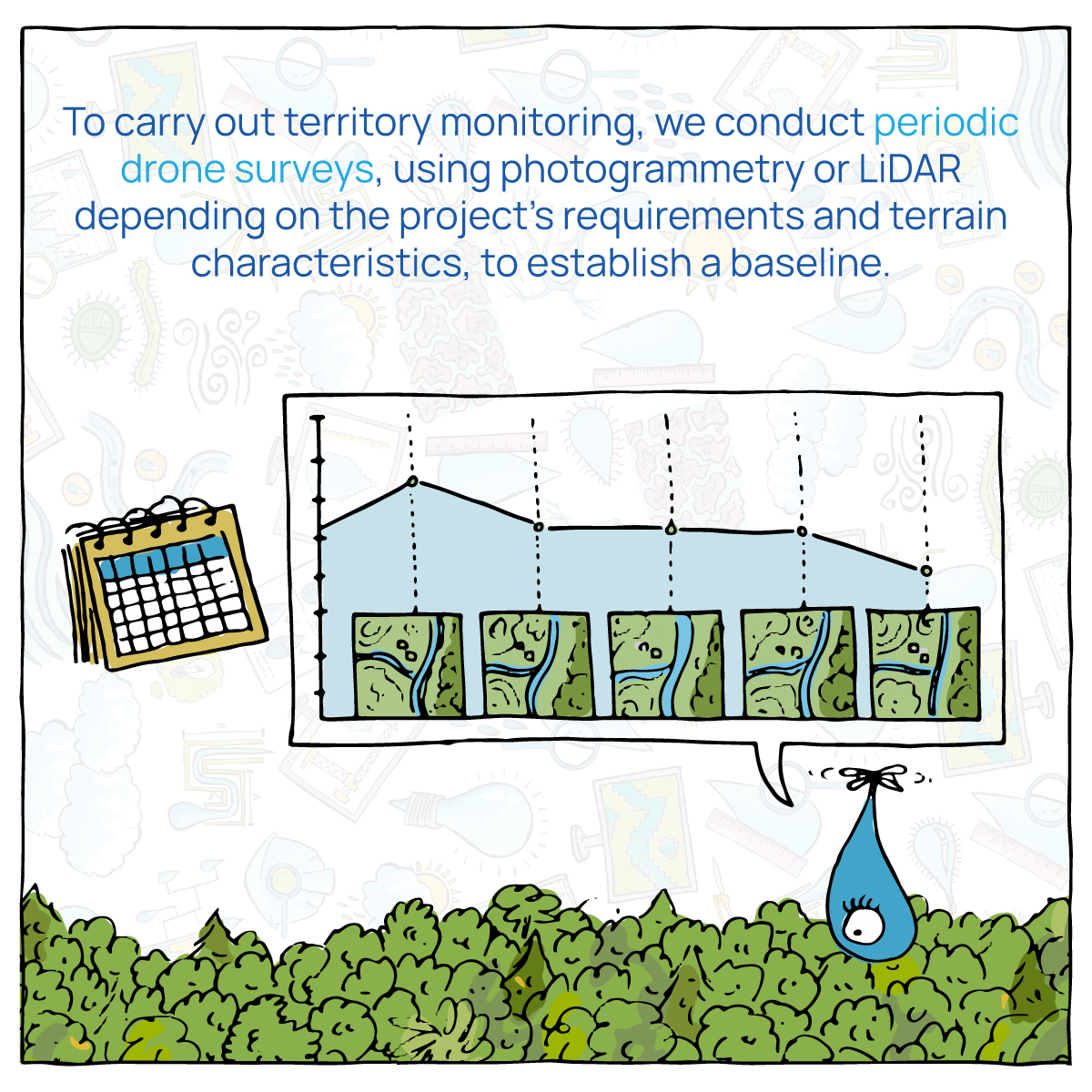
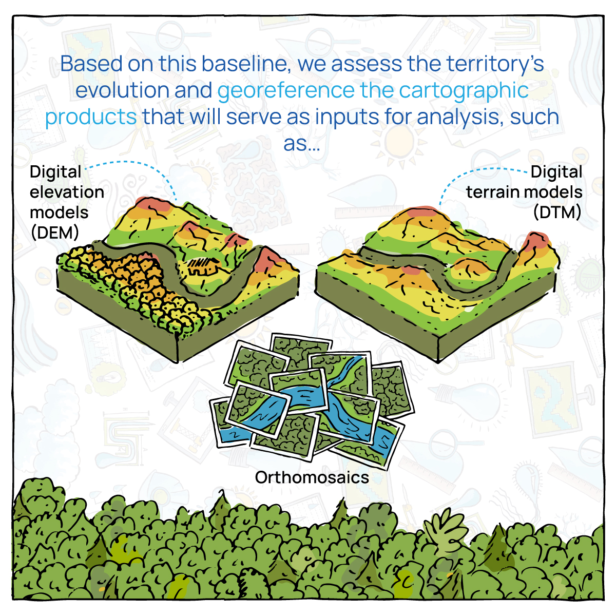
To monitor the territory, we conduct periodic drone surveys, using photogrammetry or LiDAR depending on the project’s needs and terrain characteristics. In the initial survey, we establish the baseline against which we will evaluate the territory’s evolution and set a reference for properly georeferencing cartographic products that will serve as inputs for analysis, such as digital terrain models (DTM), digital elevation models (DEM), or orthomosaics.
Subsequently, we return to the site and conduct a new survey, using the same georeferencing established during the baseline survey. This process is repeated periodically as necessary, with periods ranging from days to years, depending on the specific needs of each project and the expected speed of territory evolution. As monitoring progresses, the cartographic products obtained in each survey are compared using qualitative and quantitative methods to detect changes and landscape evolution patterns.
What Benefits Does Monitoring Territory Using Drone Technology Bring?
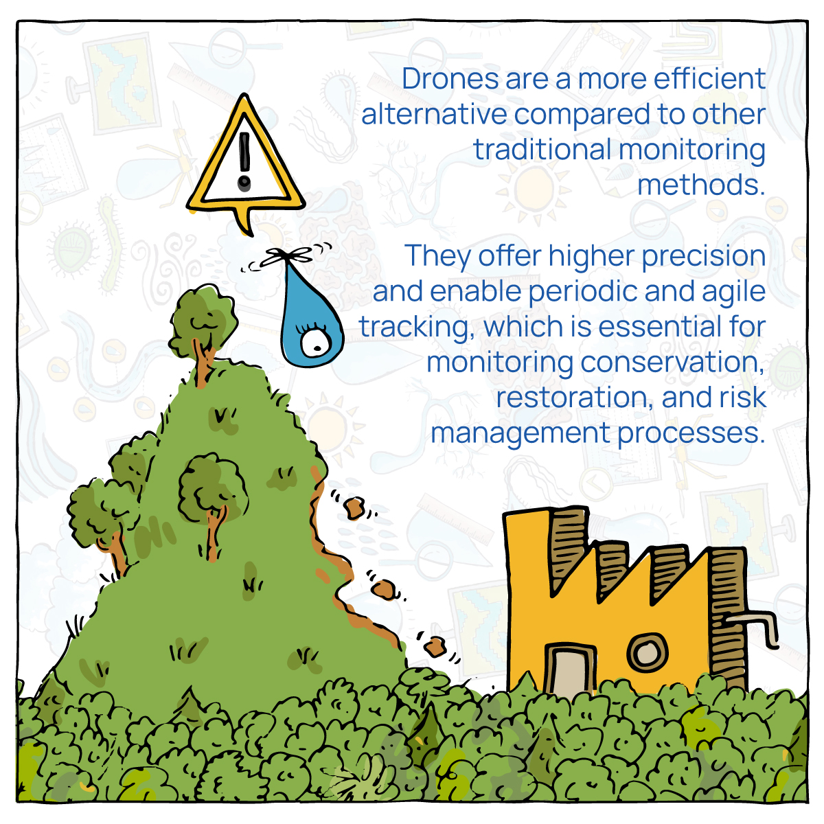
As mentioned earlier, drones are tools that represent a more efficient alternative for monitoring territory compared to traditional methods. At regional and continental scales, satellite information may suffice for certain types of monitoring; for example, Landsat data can be used to analyze forest cover, identifying areas of vegetation loss or gain. However, drone monitoring provides a much higher level of detail, making it an ideal solution for assessing the performance of conservation and vegetation restoration projects at the parcel and municipal scales.
In other cases, the efficiency of drone monitoring is evident in the temporal scale. For example, responding to emergencies associated with mass movements requires frequent monitoring to detect displacements and instabilities that pose a risk to the population. This frequency, which can be on the order of days, can be achieved through drone surveys. Similarly, monitoring of other events such as floods and flows can also benefit from the high frequency of data collection provided by drone monitoring.
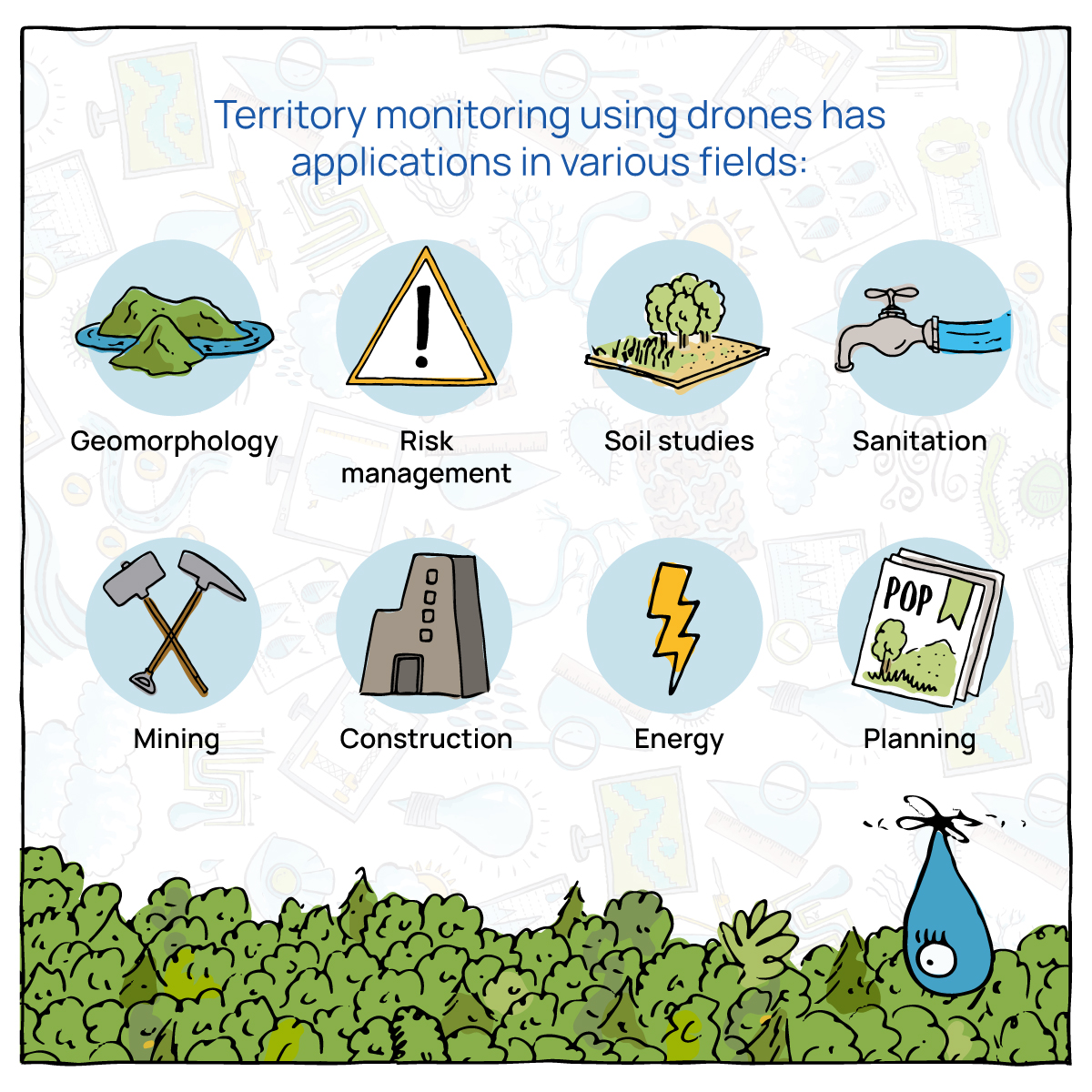
In What Fields Can Drone Monitoring Be Utilized?
As you may have noticed, territory monitoring using drones has applications in diverse fields. In the field of geomorphology, drone monitoring is highly applicable for monitoring beaches and stretches of watercourses. This information provides valuable insights for analyzing the evolution of these landscape components within the framework of river and coastal engineering design and planning; the detection of erosion patterns, material transportation, and sedimentation; the evaluation of the effectiveness of hydraulic and sediment control structures; management and surveillance by environmental authorities; among many other applications.
In the field of risk management, we can use drone monitoring to detect and evaluate land movement on slopes and in areas affected or at risk of being affected by mass movements. The forestry sector can also benefit from drone monitoring, particularly for detecting deforestation processes in protected areas, evaluating the performance of conservation and vegetation restoration projects, and even monitoring the growth and/or cutting of vegetation in forest plantations and development projects requiring forest utilization processes.
Other sectors such as mining, construction, and sanitation can benefit from these services in their daily operations, as drone monitoring allows for surveys to be conducted at a frequency sufficient to adequately detect changes in material deposit and/or extraction areas, allowing for the quantification of material volumes deposited or extracted over specific periods according to requirements. Organized drone monitoring enables the construction of structured inventories of material movement in mining pits, excess excavation material deposit zones, and landfills; with monthly, weekly, and even daily frequencies.
The mining-energy sector and construction industry, as well as regulatory bodies and environmental authorities, can also benefit from drone monitoring to assess progress on projects.
Unlock the Potential of Drone Monitoring in Your Company
In summary, territory monitoring with drones has marked a turning point in how we obtain detailed and up-to-date information about our environment. From tracking subtle changes in the landscape to evaluating conservation and risk projects, these incredible tools offer an unparalleled level of precision and efficiency in a variety of fields.
If you are seeking innovative solutions to improve your monitoring or territorial analysis processes, we are here to help. At GOTTA Engineering, we harness the full potential of drones and cutting-edge technology to provide high-quality services in the field of geographic information systems and territorial analysis. Our trained and experienced team is ready to adapt to your specific needs and provide tailored solutions for your company.
Don’t miss the opportunity to explore how drone monitoring can transform your operations and take your projects to the next level. Contact us today by clicking here to learn more about our solutions and how we can work together to achieve your goals.